Providing High-Resolution Survey Grade 2D, 3D and Point Cloud Maps to Simplify and Improve Planning, Track Construction Progress, Avoid Unforeseen Costs and Make Data-Driven Decisions
A Site map provides a high-resolution visual reference of your project. This allows you to manage large scale operations from offsite via interactive digital replicas of assets that you can view, measure, edit and share with partners across the room, the office, or even the world.
Interactive site Maps
A Site map provides a high-resolution visual reference of your project. This allows you to manage large scale operations from offsite via interactive digital replicas of assets that you can view, measure, edit and share with partners across the room, the office, or even the world.
Lidar
Drone-based LiDAR technology is revolutionizing the construction and survey sectors, providing unparalleled precision and efficiency. By emitting thousands of laser pulses per second, drone-based LiDAR systems can create detailed 3D maps of land and structures, providing rich topographical data and highly accurate measurements. This capability is invaluable in the early stages of construction projects for site analysis, feasibility studies, and detailed planning. Throughout construction, it aids in monitoring progress, identifying potential issues, and ensuring accurate execution against design plans. Additionally, drone-based LiDAR surveys enable rapid data acquisition over large or difficult-to-access areas with minimal human intervention, reducing risks and saving time and resources. The detailed, high-resolution data generated by these systems provide a solid foundation for decision-making, improving project outcomes in the construction and survey sectors.
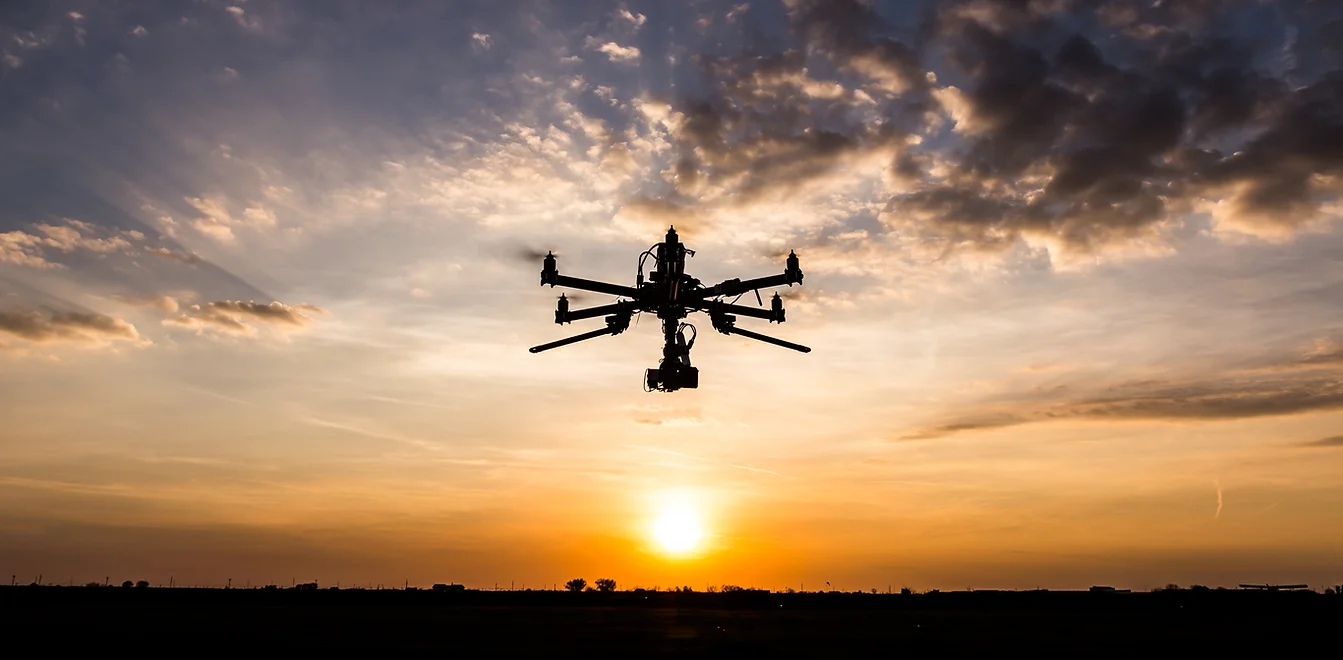
Construction Monitoring
Drones are transforming the landscape of construction monitoring by offering several significant advantages. Firstly, drones provide real-time, bird’s-eye view imaging of the construction site, enabling project managers to track progress, identify potential issues, and make informed decisions rapidly. This can greatly increase project efficiency and ensure adherence to schedules. Secondly, drones can access difficult-to-reach areas, which is crucial for safety inspections and risk assessments, reducing the need for manual, at-height inspections and thus minimizing safety risks. They can also facilitate accurate inventory management by tracking materials and equipment. Lastly, the high-resolution images and videos captured by drones, when combined with technologies like LiDAR, can create detailed 3D models and maps of the site. This aids in precise planning, improves communication among stakeholders, and provides a valuable record of the project’s evolution. In essence, the utilization of drones in construction monitoring enhances efficiency, safety, accuracy, and overall project management.
Open Ditch As-built
Colorized 3D Terrain Models With Centimeter Accuracy
High Resolution Imagery for Plan sets
High-resolution imagery plays an integral role in creating detailed and accurate plan sets in the construction industry. Through the use of drone technology, we can capture sharp, detailed images from various perspectives, which can be particularly useful when surveying large or complex sites. These images offer a granular view of the terrain, existing structures, and other site features that can significantly influence project planning and design. When incorporated into plan sets, high-resolution imagery helps to create a more comprehensive and realistic visual representation of the project. This enhances understanding among all stakeholders, facilitating better communication, more effective planning, and smoother project execution. Furthermore, with the ability to update these images regularly, project progress can be monitored closely against the plan set, ensuring that any deviations are quickly noticed and addressed. In summary, high-resolution imagery significantly contributes to accuracy, efficiency, and overall project success in the construction industry.
Environmental Compliance
Drones are a powerful tool in ensuring environmental compliance in the construction and oil & gas industries. Through high-resolution imagery and advanced sensor technology, drones can capture a wealth of environmental data, from identifying sensitive habitats and species, to detecting signs of erosion or contamination. This data provides an accurate baseline for environmental impact assessments and aids in developing appropriate mitigation strategies. During construction, drones facilitate ongoing monitoring, offering real-time insights into the project’s environmental footprint and identifying any potential non-compliance issues quickly. This can lead to swift corrective actions, minimizing potential damage to the environment and avoiding costly regulatory penalties. Drones can also assist in post-construction site restoration, documenting recovery progress, and demonstrating compliance with regulatory requirements. In summary, drone technology plays a crucial role in meeting environmental compliance goals, safeguarding the environment, and enhancing sustainability in the construction and oil & gas industries.
Video Records
The use of drone technology for video recording offers several significant advantages in the construction and oil & gas industries. Drone-captured videos provide a comprehensive, dynamic record of project progress from start to finish. This not only allows for real-time monitoring and immediate adjustments, but also offers a valuable archive for future reference, dispute resolution, and demonstrating compliance with regulatory and client requirements.
No matter the size of the project, we’re here to make it happen.
Feel Free to Contact us.